A blank page for the good stuff. Add a trail note in edit mode.
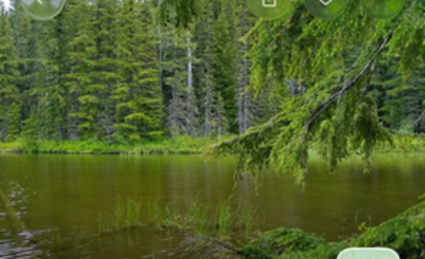
MOUNT JEFFERSON WILDERNESS · OREGON
Temple Lake
September 19–20, 2026 / One night out. Three backpackers.
GRC
Gabe, Riko &
Curtis Coronado
4.7 miReference distance
462 ftReference ascent
2 daysSeptember 19–20
3 hikersGabe · Riko · Curtis
01 / EXPLORE THE TRAIL
A little world. A shared adventure.
Preparing the forest…
Elevation: USGS 3DEP (~10 m samples) · Imagery: Esri, Maxar, Earthstar Geographics · Trails & water: © OpenStreetMap contributors
SUMMER TERRAIN / ORBIT VIEW
Drag to orbit · Scroll to zoom · Click a pin3443 → 3444 → Temple Lake
Summer visualization · modeled trees, not surveyed tree positionsUSGS 3DEP elevation · mapped trails and waterways · import GPX for your recorded route
THE ROUTEInto the trees.
Into the trees.
Out to the lake.
Pine Ridge trailhead → Pine Ridge Trail #3443 → Temple Lake Trail #3444.
4.7 mi out & back · 462 ft ascent · 446 ft descent. These are the supplied route-profile figures, not measured trip totals.
Forest Service trail information ↗02 / THE MEMORY ROLL
Bring the trail back.
The moments are yours to add.
Unlock edit mode to upload photos and videos, then connect them to a place on the trail.
03 / FIELD NOTES
Three perspectives. One trail.
A blank page for the good stuff. Add a trail note in edit mode.
A blank page for the good stuff. Add a trail note in edit mode.